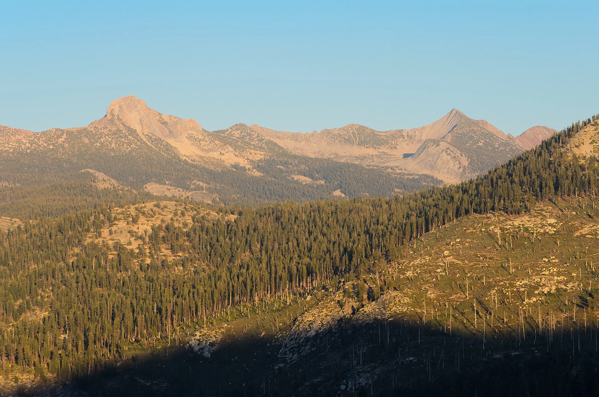
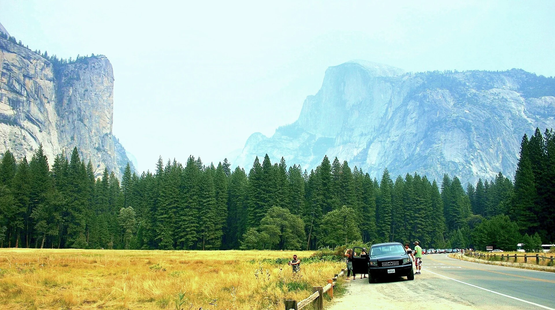
Horizontal, Half Dome standing far off, meadow, pines and a road near

California, United States

Yosemite National ParkA glacier-carved U-shaped valley

Past the entrance the walls press straight down while the floor lies flat enough for meadows. Water falls from height into the valley, the stream slows, and meadow and pine spread between. Above is solid granite, below something soft.

The park spans four counties, 3,070 square kilometres, centred around Tuolumne and Mariposa, over 90 percent designated wilderness.

PlaceCalifornia, United States
TypeNational park with a glacial valley
SuitsTravelers who want to know why the walls are straight and the floor flat
Best seasonLate spring fills the falls; late summer gilds the meadow

Rock, ice and water

California, United States — National park with a glacial valley.

First stand on the valley floor and take in the U's cross-section whole.

Half Dome and the waterfall have different causes; see them separately.

One valley holds meadow, stream and giant sequoia groves each in its stretch.

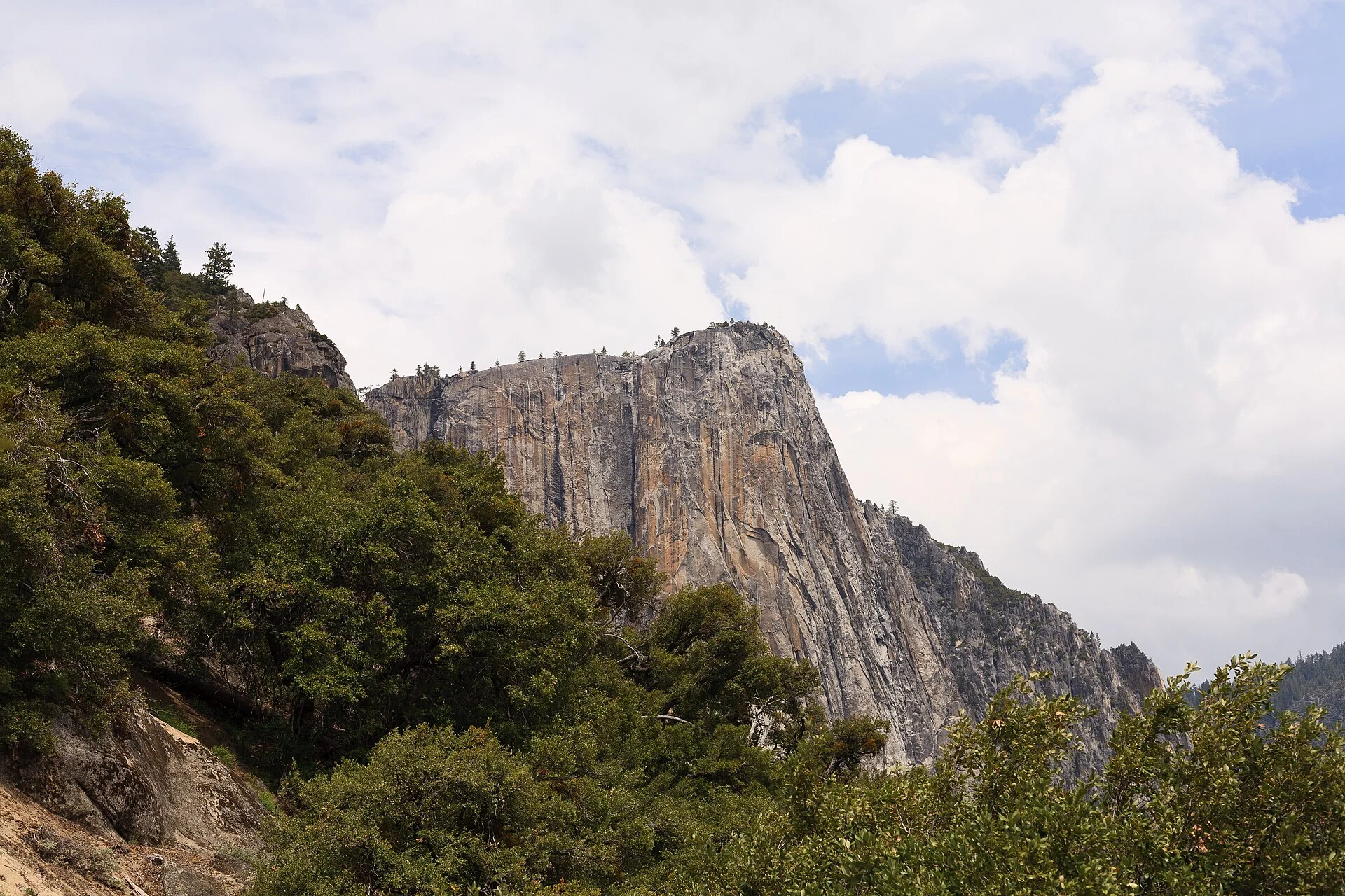
Horizontal, a whole granite cliff wall bearing down, trees at its foot
The upright cliff wall
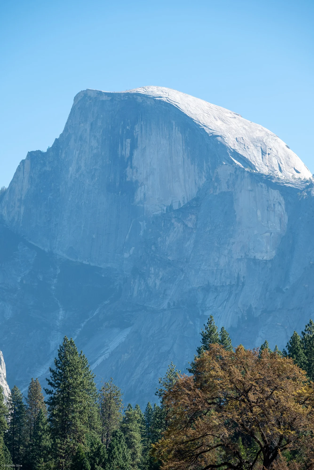
Vertical, snow-capped Half Dome filling the frame, pines and shrubs in front
Snow-capped Half Dome
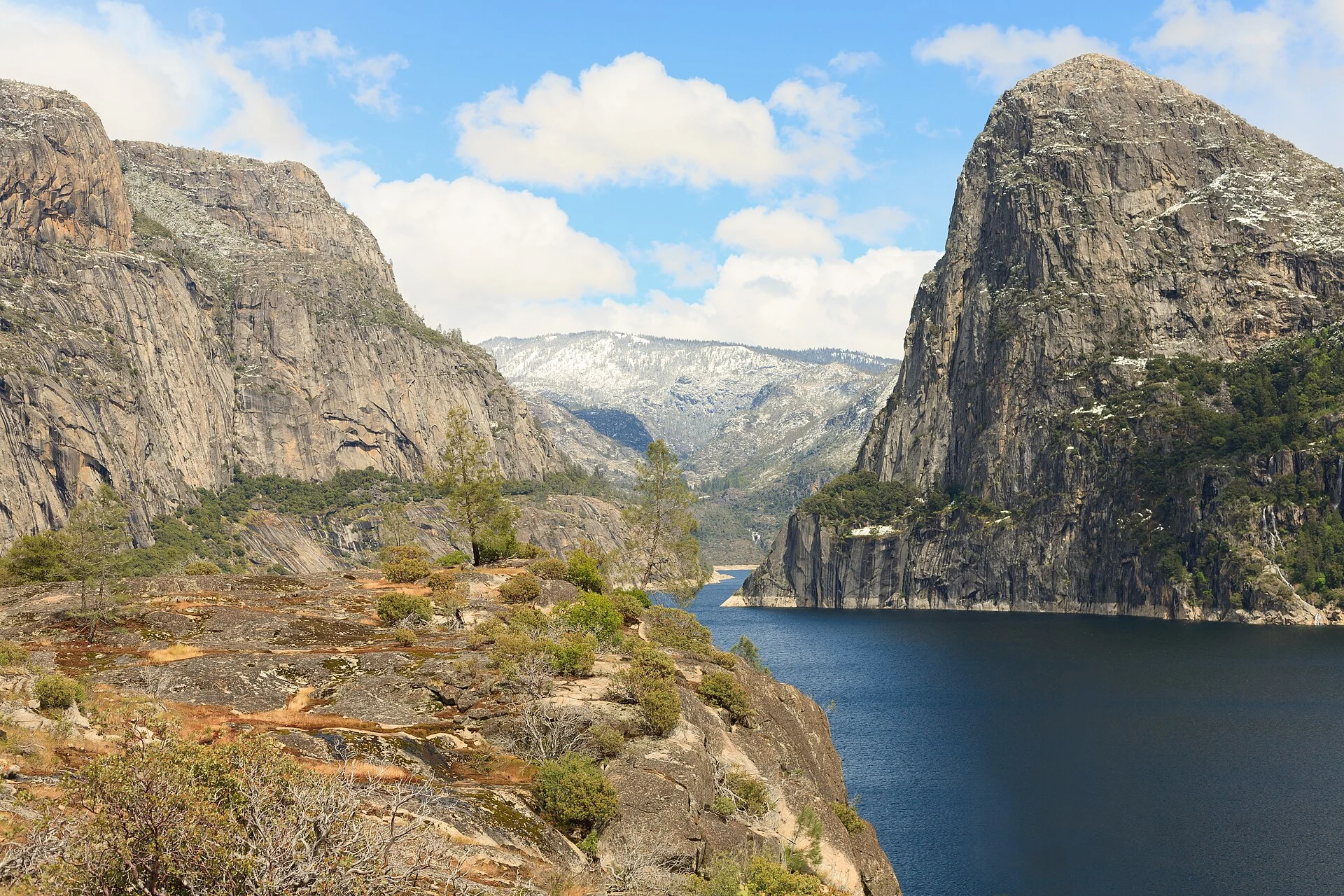
Horizontal, a lake set in a canyon, a rounded rock to the right, a line of falls beyond

The valley cut by ice

Around 10 million years ago the massif rose and tilted west, steepening the riverbed, which first cut a narrow, deep canyon. Nine million years later ice formed at height and ground downhill, carving the valley into a U. The straight walls and flat floor seen today are the sum of those two steps.

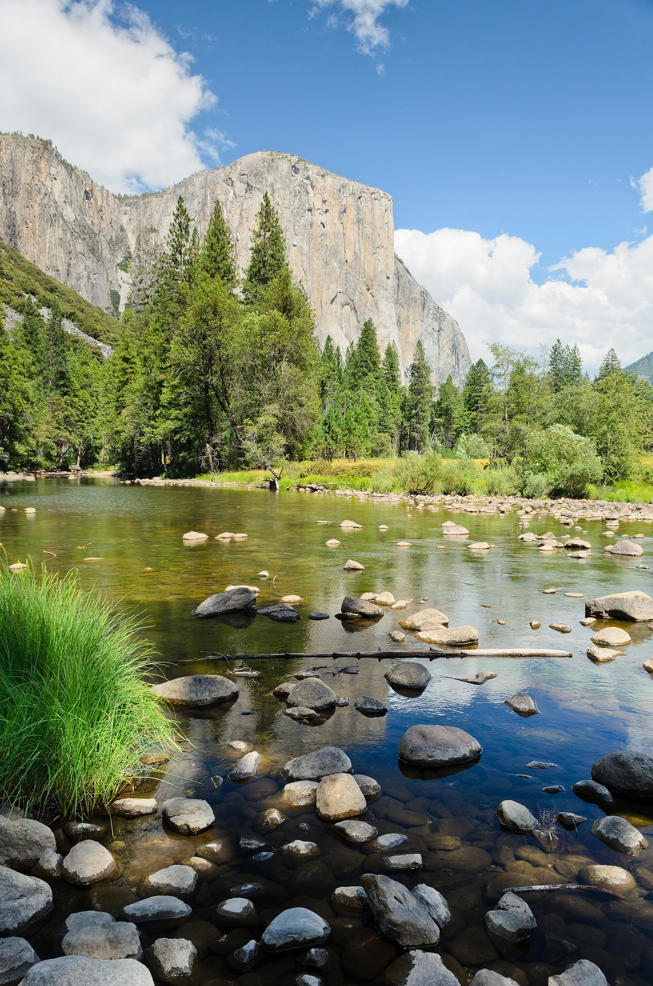
Vertical, pebbles in shallow water and a grassy bank, a line of granite and pines behind

Where the name comes from

Yosemite comes from the Miwok language, a name the Miwok gave the Awaneechee who lived in the valley, meaning 'they are killers'; the Awaneechee called the place Awahnee, meaning 'big mouth'. Often mistaken for 'grizzly bear', the two are unrelated.

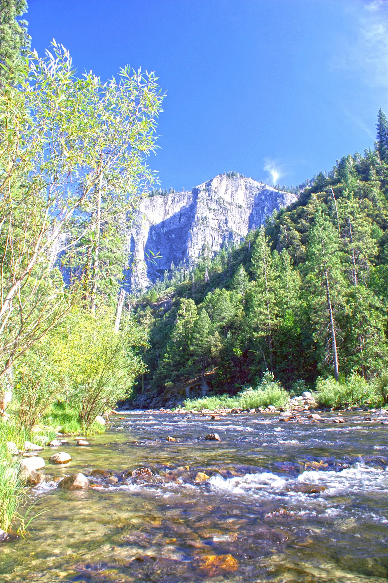
Vertical, a stream passing through woods, a bright white cliff face in the distance

From protected land to national park

In 1864 Lincoln signed the Yosemite Grant Act, setting the valley aside as federal reservation, behind the efforts of Galen Clark and others. In 1890 John Muir pushed Congress to establish it and surrounding areas as a national park, a step that later laid out the whole national park system.

Horizontal, sunset gilding the valley gold, ridges receding in layers
Route

A full day on the valley floor

Don't slot it on a transfer day. Stay near the valley entrance the night before, enter at first light, and you'll still have energy for a stretch of forest in the afternoon.

Why the valley is U-shaped

Walking in from the valley mouth, first you feel the flat floor. The walls rise almost straight while your feet meet meadow and slow water, like standing in a flattened trough. This shape was not cut by water alone, first river, then ice.

About 10 million years ago the Sierra Nevada rose and tilted west, steepening the riverbed, which cut a deep narrow canyon. About 1 million years ago glaciers formed at height and pushed downhill, widening and flattening the walls and floor, leaving today's U.

So don't rush to a single viewpoint. Stand on the meadow and look across: straight walls, flat floor and a hanging waterfall are in one sightline; these three are parts of one cause.

Water above and below the granite

The massif is mostly granite with older layers mixed in. Water falls with great drop, then suddenly slows at the floor; the stream is clear enough to count pebbles, and the meadow grows on this gentle slope. The hard-soft boundary is the most direct layer here.

Each waterfall has its place, some drop straight from a hanging valley mouth, others need a side trail to see fully. Flow changes by season; the same viewpoint differs by month. The park's posted current opening range is worth checking before photos.

The park was inscribed as a World Heritage Site in 1984, listed together with giant sequoia groves, lakes, glaciers and diverse habitats. About 95 percent is designated wilderness; beyond the valley lie far larger mountains most visitors never reach.

How a place was kept

Humans may have entered this area 10,000 to 8,000 years ago, with Indigenous people living here nearly 4,000 years. In 1851 the Mariposa Battalion entered the valley and attacked the Awaneechee, the earliest clearly recorded entry by European-Americans.

What made the outside know this valley was early writing and painting. In 1855 James Hutchings and painter Thomas Ayres travelled together; Ayres's sketches later exhibited in New York, and Hutchings wrote travel accounts for years. In 1857 Clark discovered the Mariposa Grove of giant sequoias at Wawona; by 1879 the Wawona Hotel for visitors was built. The valley had to be seen before it could be kept.

Today about four million visit yearly, most spending their time in the valley's seven square miles. Looking up from the meadow, the crowded spot is only a corner of the whole reserve; knowing this changes how you see the same wall on the way back.
A full day for the valley floor

First read the U's cross-section on the meadow, walk slowly by the stream, find a side view of the falls midway, then return to the valley mouth for sunset.

Time needed

A full day for the valley loop plus a short trail or two; allow extra for Glacier Point or Tuolumne Meadows.

Opening

Which trails, road sections and shuttles are open changes by period; high roads close in winter and valley areas adjust by weather.

Access

The floor is flat; routes to the rim drop sharply with many bends and full sun. Slow movers stay on the floor.

Best light

Late spring fills the falls; late-summer meadow turns gold and raking light reveals the rock layering.

Talk through my trip idea

If you're planning those days in California's Sierra Nevada, tell me whether you'll keep one day or two, and whether anyone moves slowly.

[email protected]

Read this page in Chinese

Discuss this journey