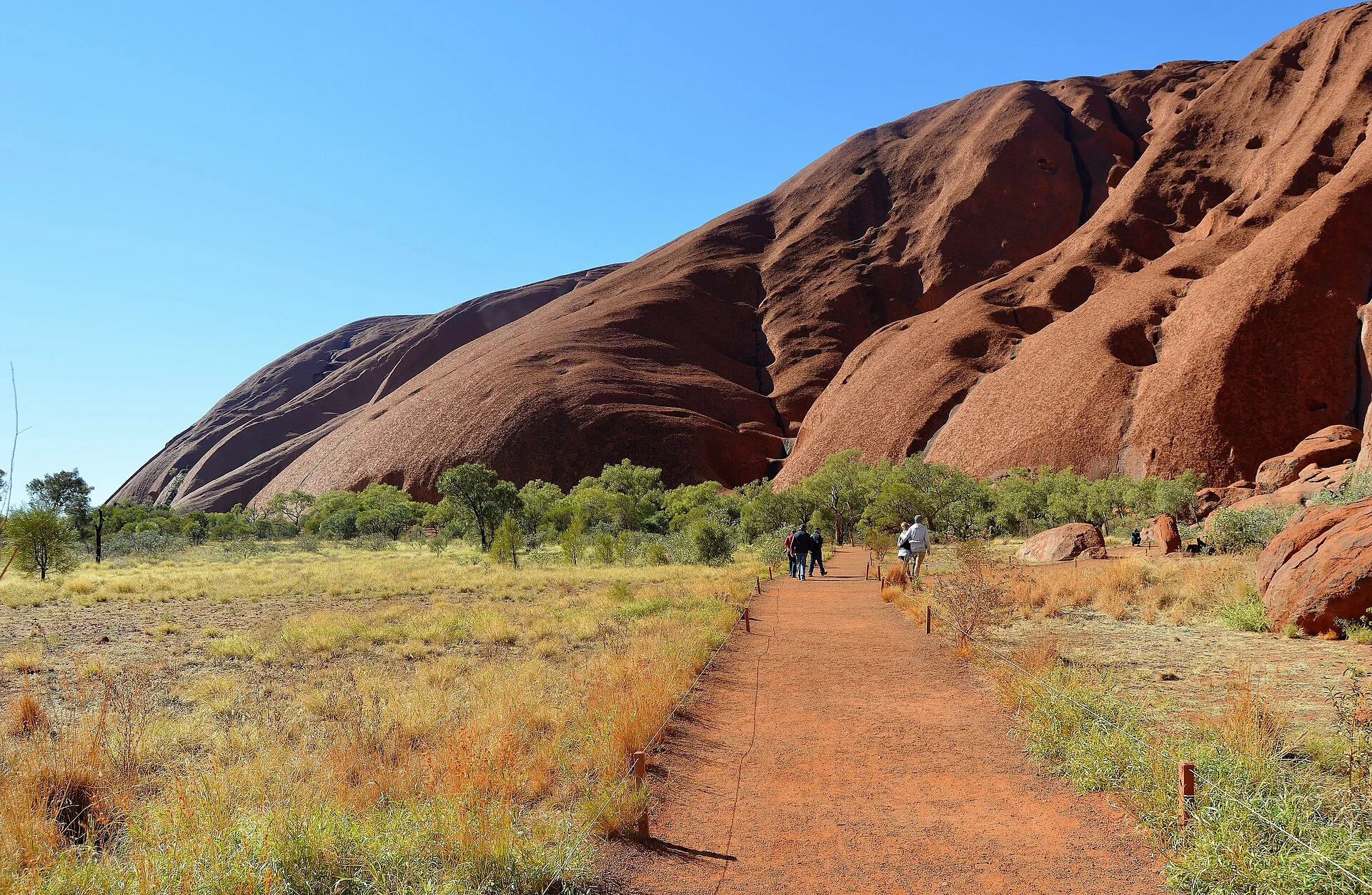
Horizontal, at sunset one whole red rock lies in desert, moon above left, grass in front

Northern Territory, Australia

Uluru-Kata Tjuta National ParkOne vast red rock in the desert

The plain suddenly heaves one whole red rock, its side grooved by water, sparse grass and shrubs at its foot. Further west, another group of domes crowds together, a wholly different shape yet the same sky for colour.

The park runs along the Stuart and Lasseter Highways; from Alice Springs it's half a day's drive. One site is a monolith, the western one a dome group.

PlaceNorthern Territory, Australia
TypeNational park with sandstone formations
SuitsTravelers who want to know why the monolith and domes sit close
Best seasonDawn and dusk raking light reveal the grooves

Rock, water and sand

Northern Territory, Australia — National park with sandstone formations.

First see that the single monolith and the dome group are not the same landform.

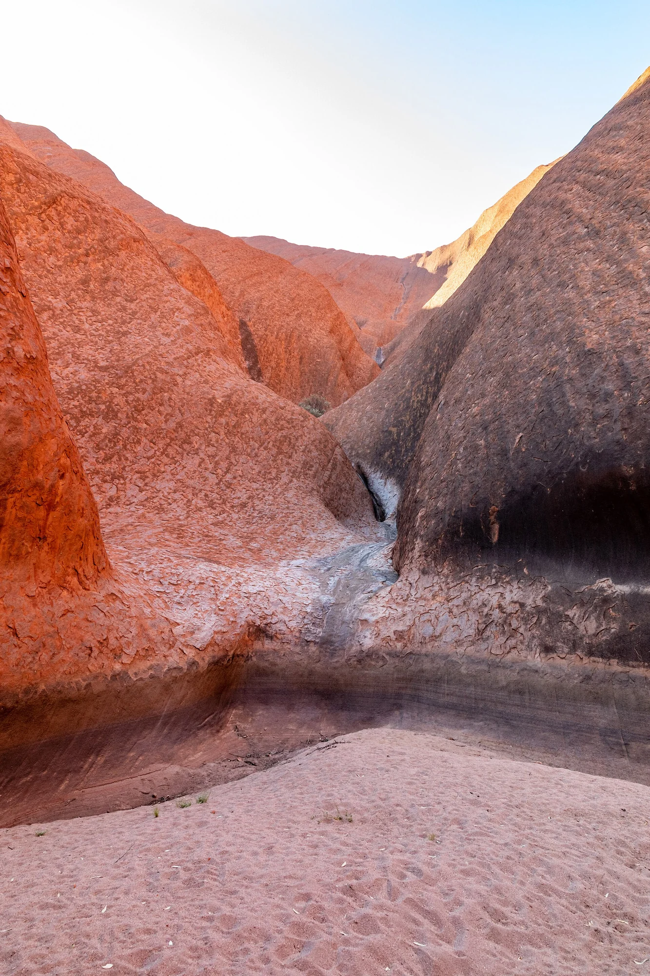
The grooves and pools on the rock face are water's work; only from the side do they make sense.

The same stone is wholly different red at dawn and dusk.

Horizontal, near orange-red domes and white flowers, a water mark falling from a rock seam
Domes and water marks
Vertical, two red rock faces framing a groove, water pooled at the bottom
A pool between rocks
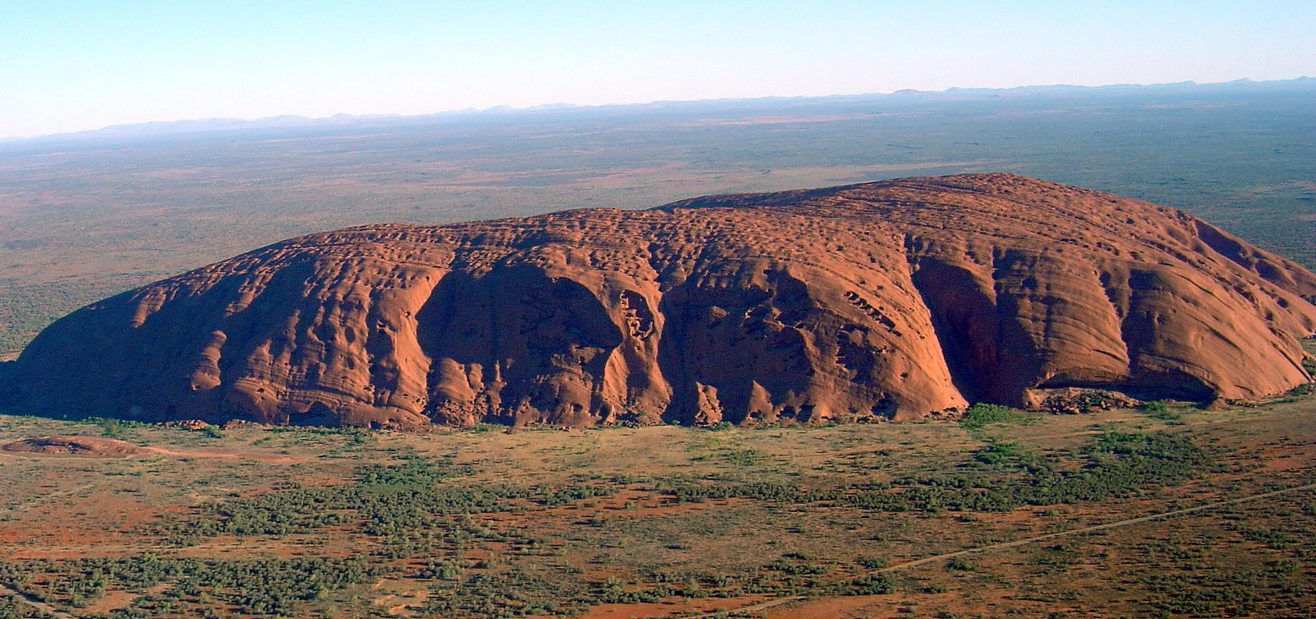
Horizontal, view of the rock from above, blue grooves running down the surface

The part above ground

Uluru is a sandstone monolith known to almost everyone in Australia and an entry point to local Indigenous culture. It took shape about 350 million years ago in a mountain-building event, far older than the dome group to the west; coarse-grained and mineral-rich, it is a kind of feldspathic sandstone.

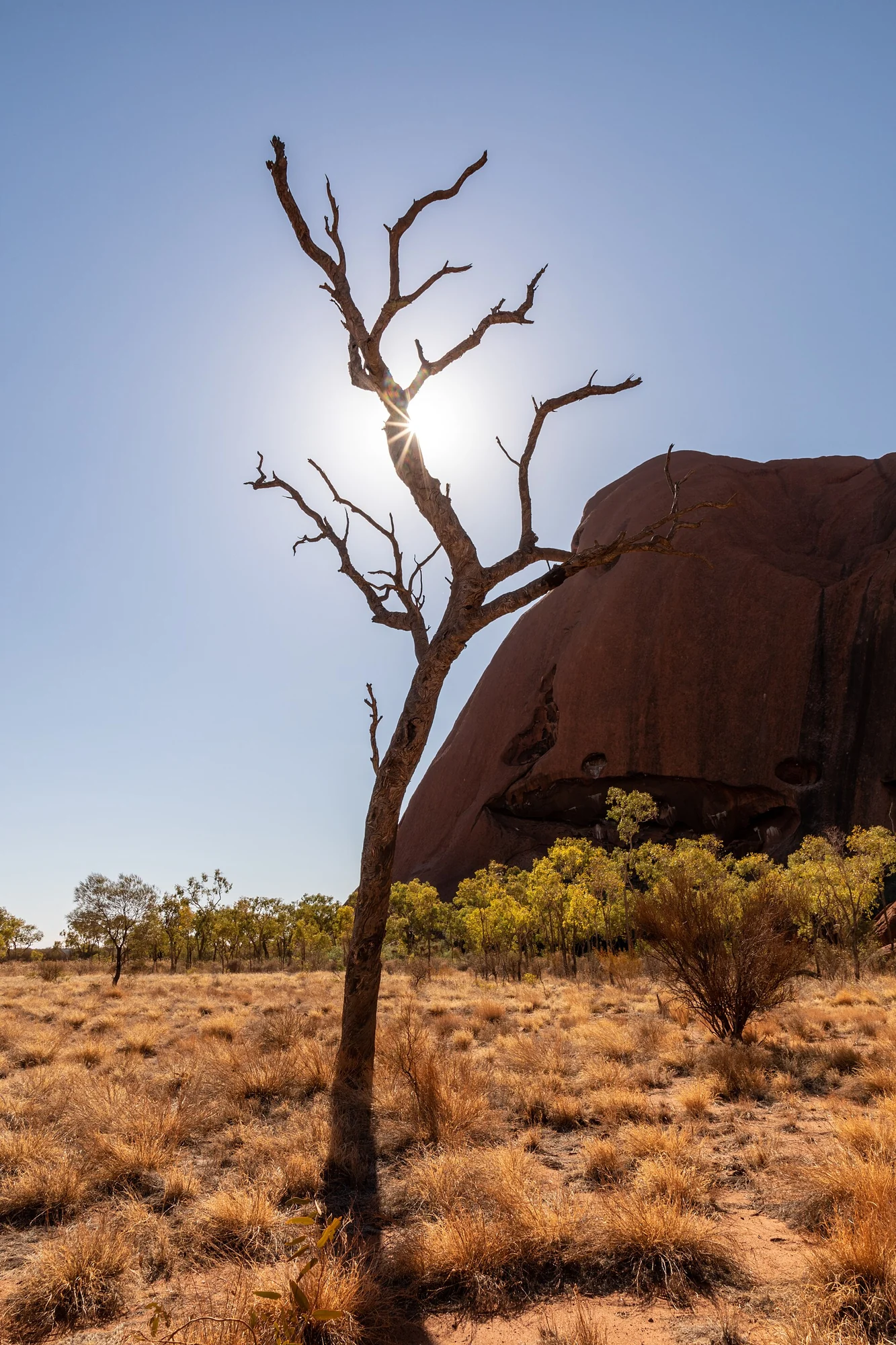
Vertical, a dead tree standing before the desert, dark rock mass behind

The dome group to the west

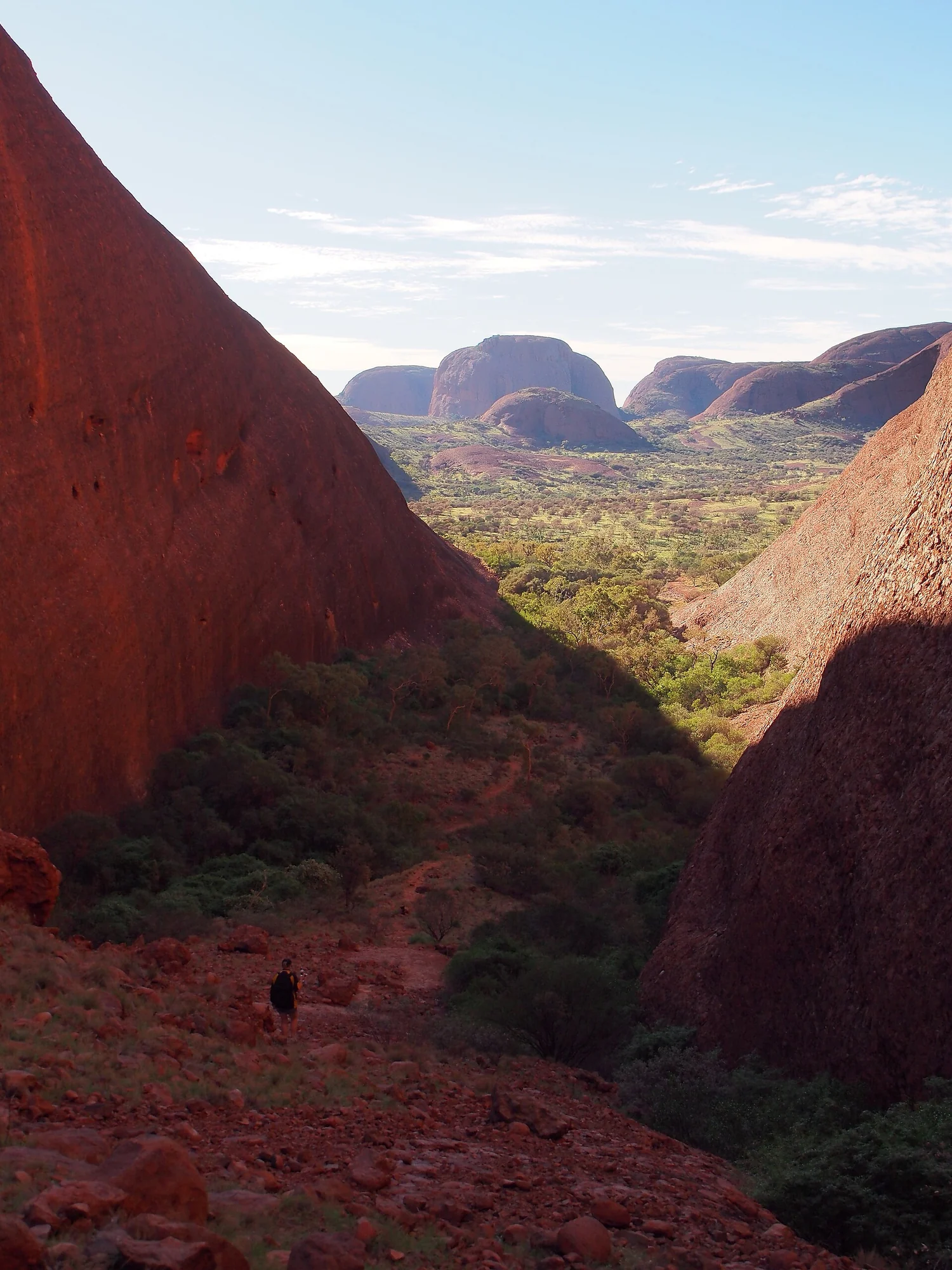
The western group has thirty-six dome tops, their rounded outlines crowded together with narrow gorges between. Five hundred million years ago this area was covered by an inland sea; sand and mud sank to the seabed and were later compressed into conglomerate. The name in Anangu language refers to this crowd of heads.

Vertical, view through the pass between domes, several domes ranged on the plain beyond

How it's managed after the handback

After the land title was returned, a 99-year lease was set; day-to-day it is run together by the Anangu and the park administration, called co-management locally. In October 2015 the Anangu also declared over 50,000 square kilometres around the park as the Katiti Petermann Indigenous Protected Area, larger than Switzerland and the fourth-largest Indigenous Protected Area on the Australian mainland.

Horizontal, a sandy path leading to layered red rock at its foot, clear sky
Route

A dawn at the rock's foot

Don't slot it on arrival or departure day. Stay near the park the night before, leave at first light, and you'll dodge some of the midday sun.

One mass and a crowd

From the highway, Uluru is one horizontal red mass with an almost unbroken outline. Up close the surface is grooved by water, its side curving in stages; from different positions you see different faces of the same stone. It rises 348 metres above ground, most of its bulk below.

Forty kilometres west, Kata Tjuta is another shape: thirty-six conglomerate domes crowded together with narrow gorges between. The name means 'many heads'; the rock dates to 500 million years ago. Both lie in one reserve, yet cause and outline must be read separately.

To the Anangu these are not mere landforms. The Uluru area is a place-name of many ancestral beings interacting with each other and the land, some believed still to reside here; the knowledge tied to Kata Tjuta is considered powerful and to be approached with care, suited only to those properly guided. Keep this in mind and your measure changes.

What water leaves on stone

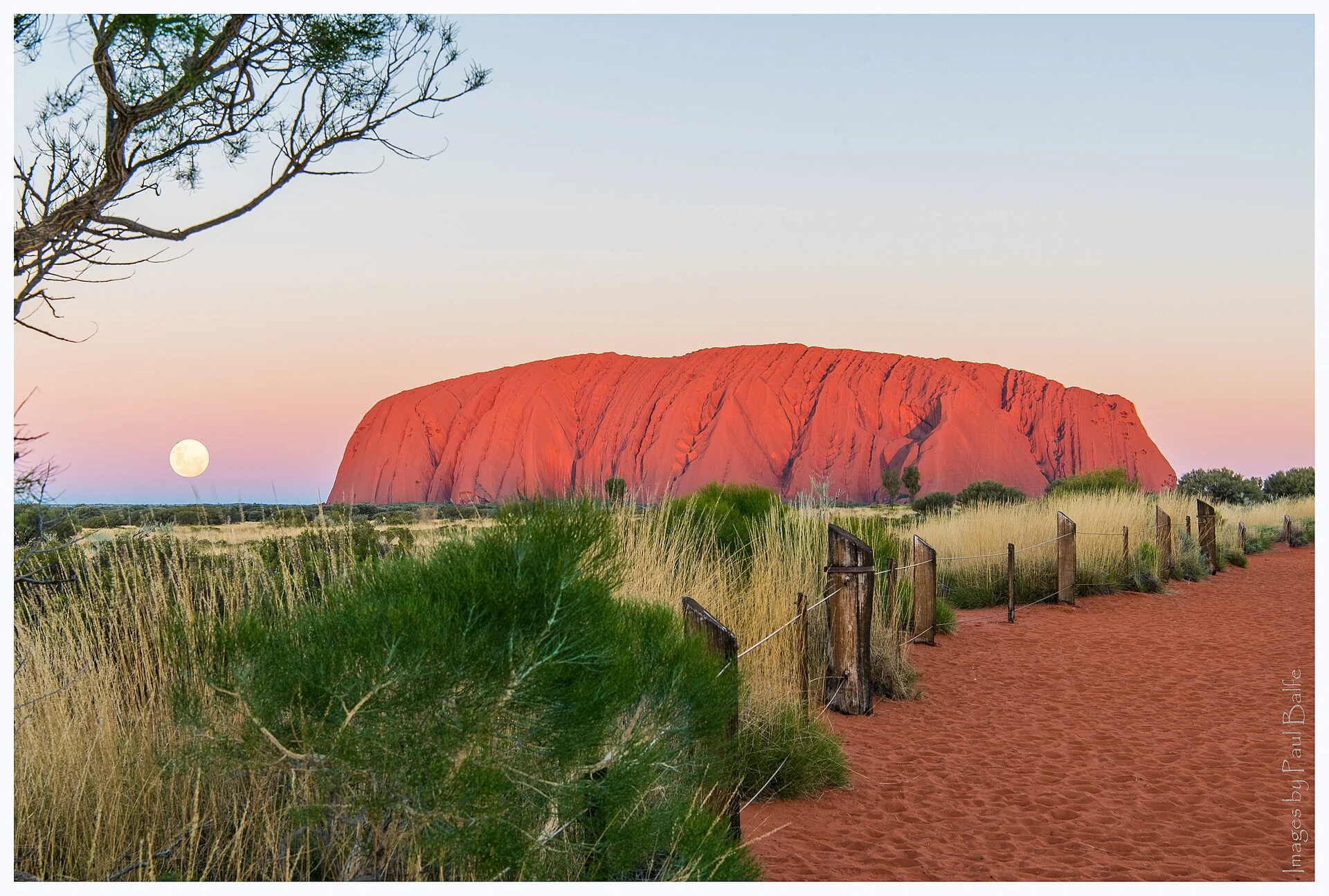
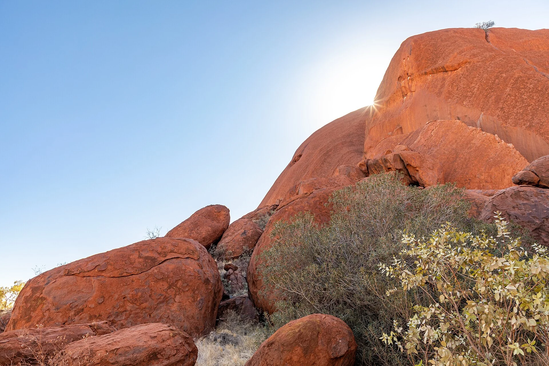
Least expected in desert is water, yet its marks are everywhere. Rain runs the grooves down, pooling in hollows and wearing bands of varying shade; the shade side reddens toward brown, the sunlit face near glows in raking light.

A side trail reveals how grooves follow the rock layers. Underfoot are low grass and shrubs, shadows short and hard; the light changes fast, and the same wall is not the same red at dawn and dusk, visible even standing still.

Park walks led by traditional owners tell of local plants and animals, bush foods and Dreaming stories. Like the rock face, this content is part of the place, but which areas are open and which stories may be told follow the current notice and on-site guidance, don't wander in on your own.
After the title was returned

In 1976 Australia passed the Aboriginal Land Rights (Northern Territory) Act, legally recognising Aboriginal law and land rights. Nine years later, on 26 October 1985, the traditional owners received freehold title to the park, then leased it back to the government to manage.

In 1987 it was inscribed as a mixed natural and cultural World Heritage landscape. The list states it plainly: one rock, at once a geological sample and a living cultural site. Hence public guidance on climbing and on parts of the area keeps changing; checking current rules before travel is necessary.

The park lies 440 km southwest of Alice Springs and 1,943 km south of Darwin, the drive itself taking most of a day. Keep arrival and departure days clear; give a whole dawn to the rock's base rather than rushing in before sunset and back the same night.

A dawn for the rock's foot

First read the monolith's outline in the open, walk a stretch at its foot to see grooves and water marks, turn to the western domes in the afternoon, then look back once at the plain.

Time needed

A full day for both sites on foot; from Alice Springs add drive time, don't crowd it with a flight.

Opening

Current trail and viewpoint openings follow the notice; some areas are closed to visitors by traditional owners' request and routes adjust.

Access

Trails are sand and scree, full sun, little shade, hot midday stone. Slow movers keep to one or two dawn stretches.

Best light

Dawn and dusk raking light reveal the grooves; midday glare is hard and hot. Some trails close in the wet season.

Talk through my trip idea

If you're planning those days in the Northern Territory, tell me whether you'll keep one day or two, and whether anyone dislikes sun or moves slowly.

[email protected]

Read this page in Chinese

Discuss this journey