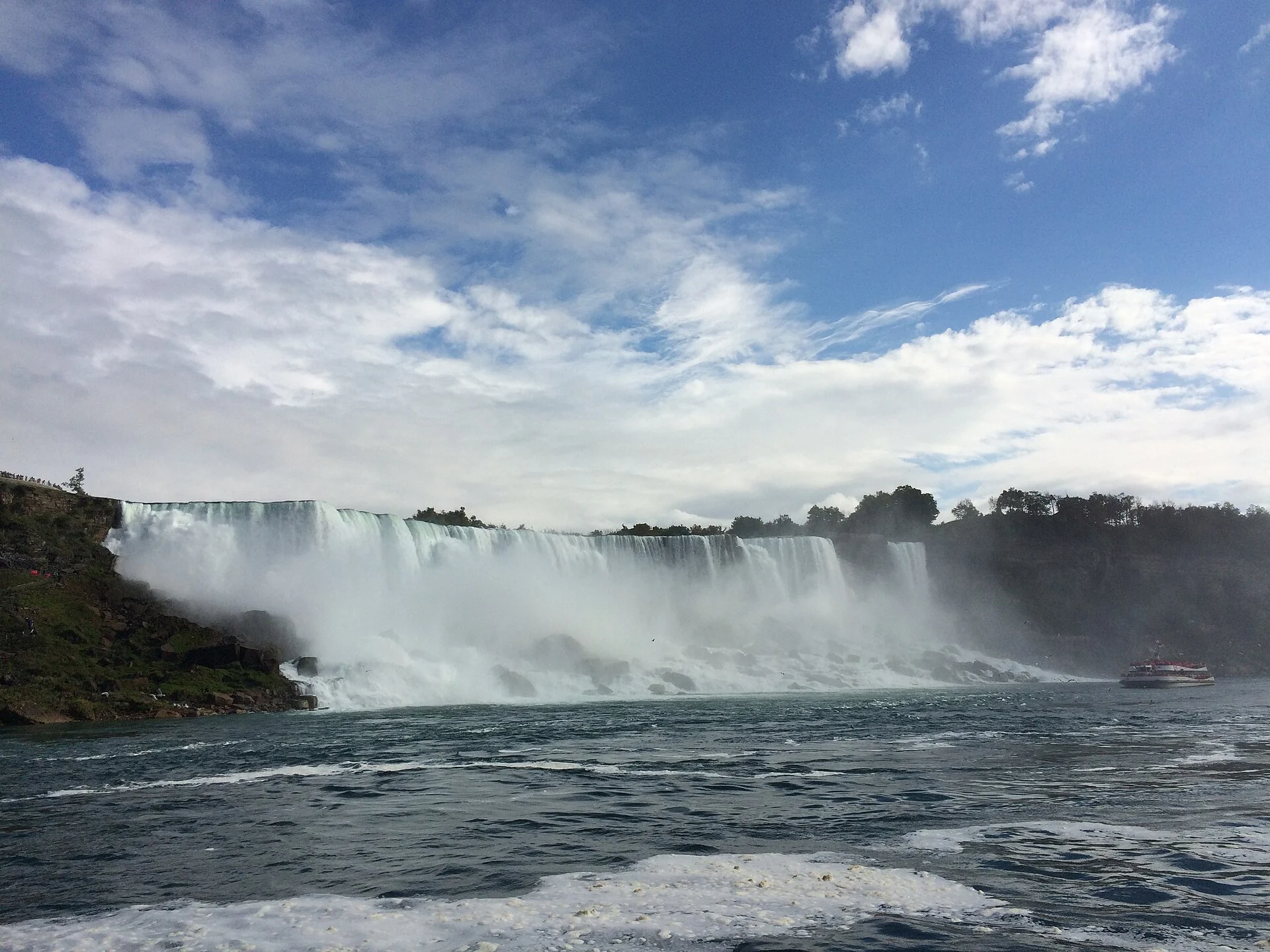
Horseshoe Falls in full mist with a white tour boat near the cliff base

Niagara, Ontario-New York border

Niagara FallsWater falling along a single curved line

Before you reach the rail, the sound of water presses in. What's before you isn't one sheet but three drops split by two small islands, each with its own shape and mist.

At the south end of the Niagara Gorge, the river links two Great Lakes and the border line runs right over the water.

PlaceNiagara, Ontario-New York border
TypeWaterfall group
SuitsTravelers who want to identify the three falls and their shapes
Best seasonSummer mist is heavy; winter ice reshapes the falls

Water, islands and mist

Niagara, Ontario-New York border — Waterfall group.

First sort out where each of the three falls sits and which side to walk.

Flow changes with season and time of day; the same railing at dawn and dusk shows different things.

This is both a scenic spot and a power source, don't miss the lakeside facilities while watching the water.

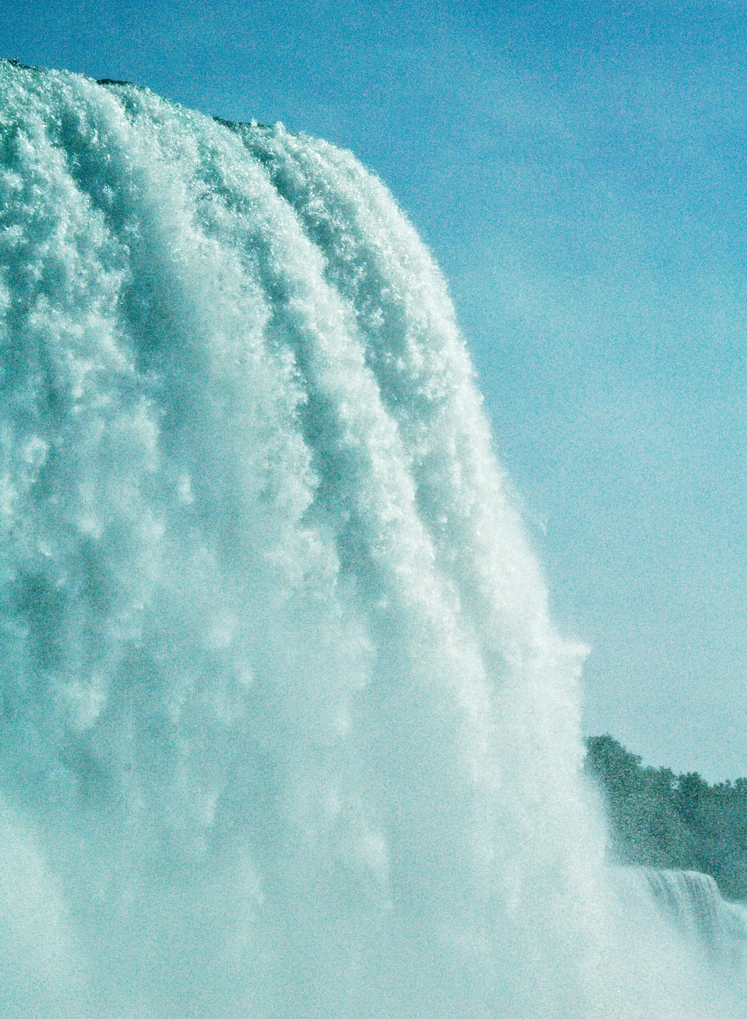
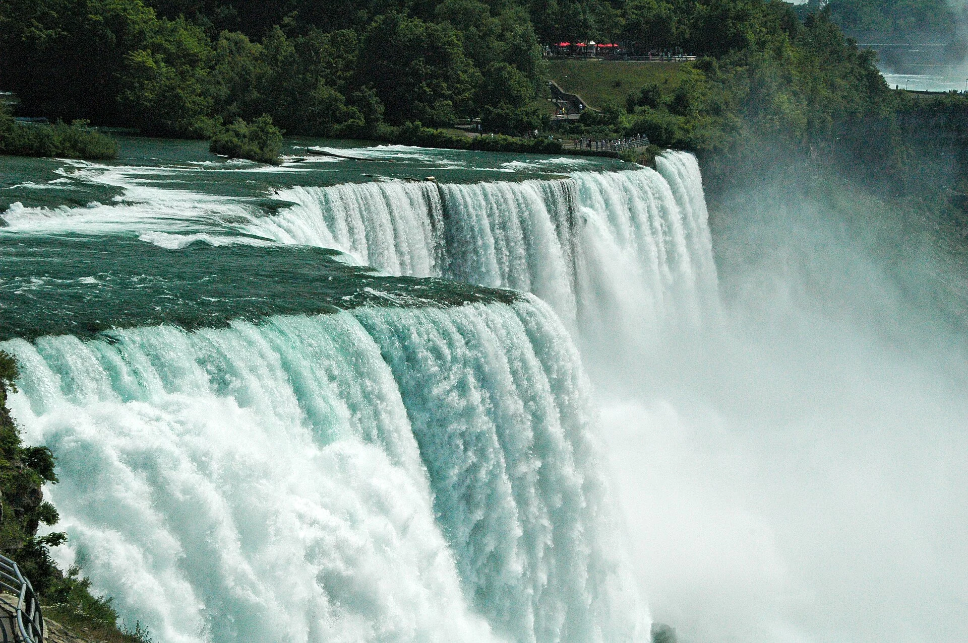
American Falls edge, green water spilling the lip straight down
A green curtain of water
Teal water hugging the cliff face, the frame almost all water
Water running down the cliff
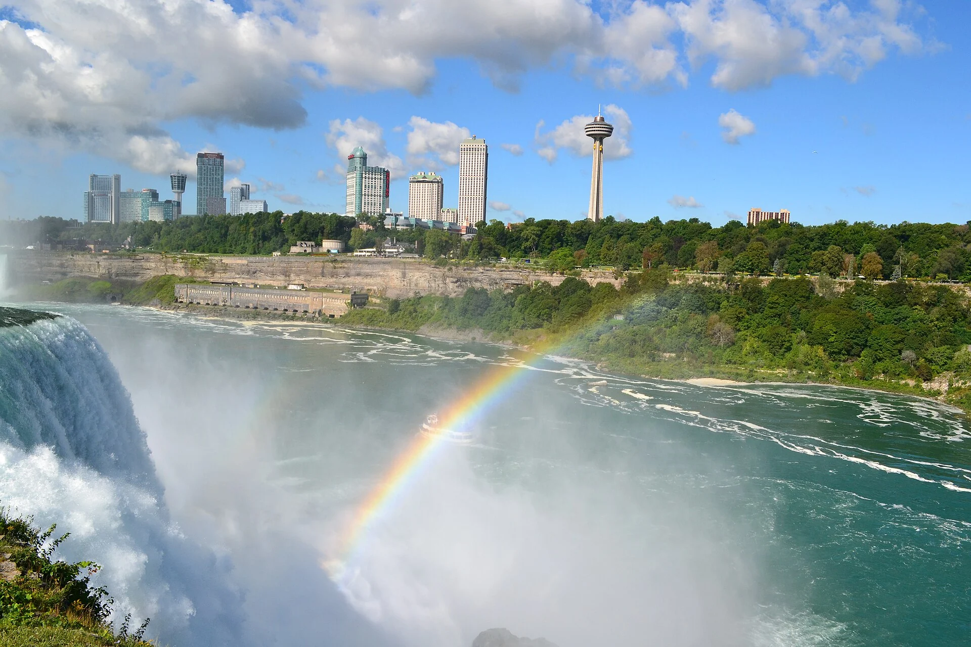
Across the shore, a rainbow framed in the mist

The three falls drop separately

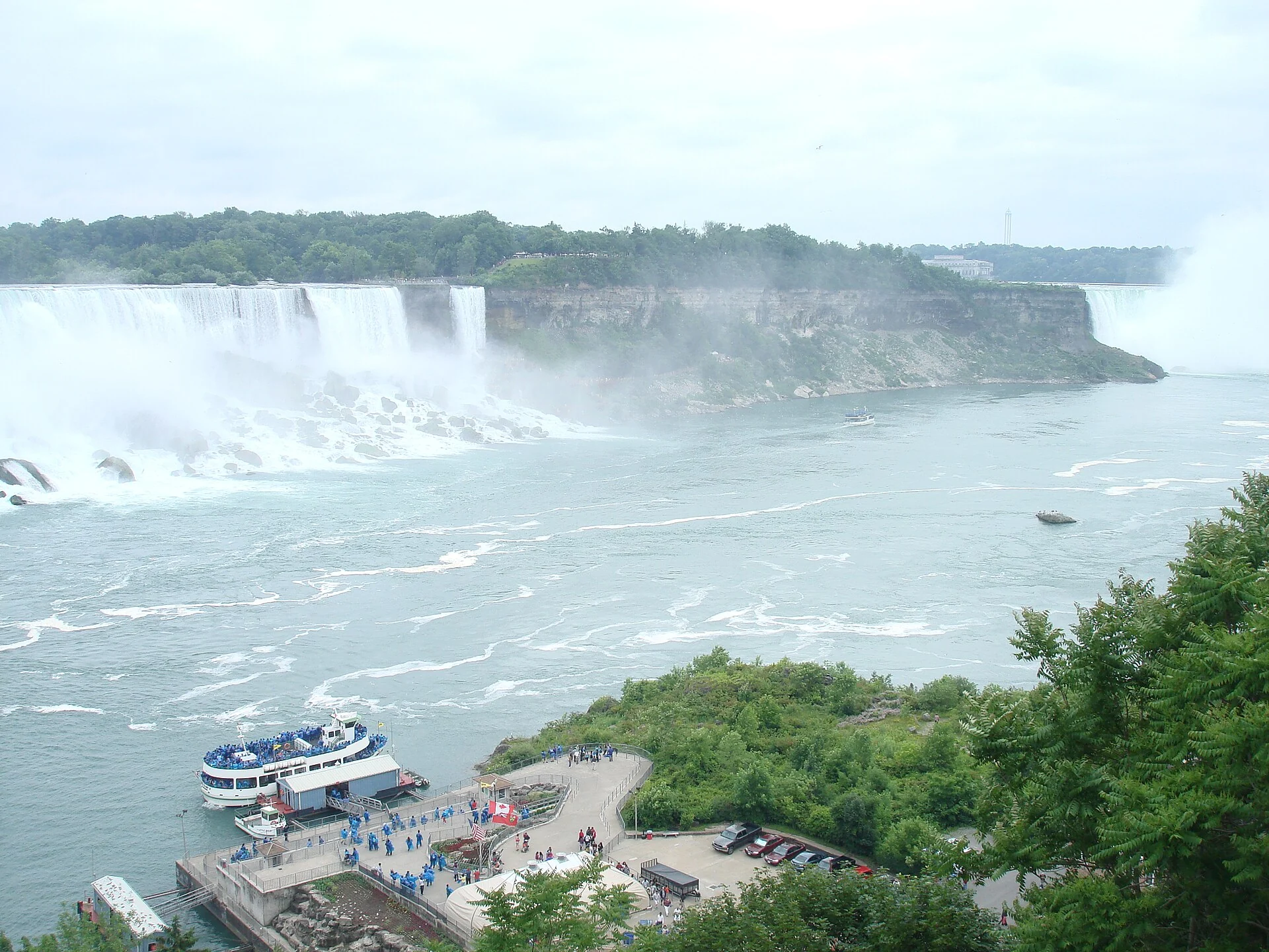
The largest is Horseshoe Falls, straddling Ontario, Canada and New York State, USA; the American Falls and Bridal Veil Falls are both on the US side. Goat Island separates Bridal Veil from Horseshoe, and Luna Island separates it from the American Falls. From the shore, the curve, the straight wall and the narrow curtain each take a stretch.

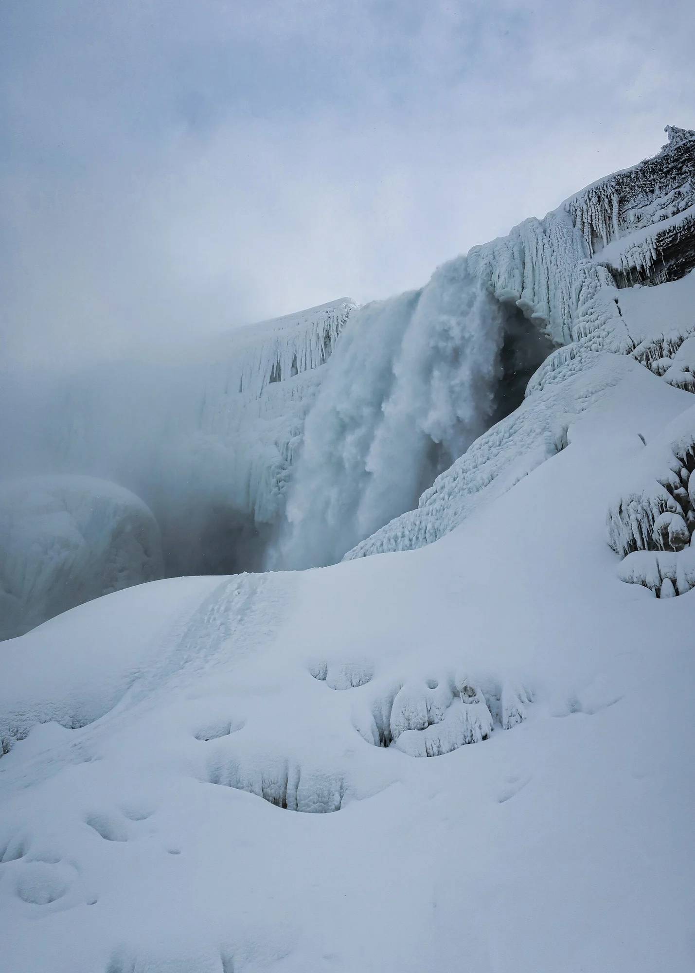
Thick ice and snow piled below the falls in winter

A river between two lakes

The Niagara River carries water from Lake Erie into Lake Ontario, dropping it all at the south end of this gorge. Together the three are the highest-flow waterfall group in North America and seventh in the world. At the daytime peak of tourism, more than 168,000 cubic metres of water cross the crest every minute.

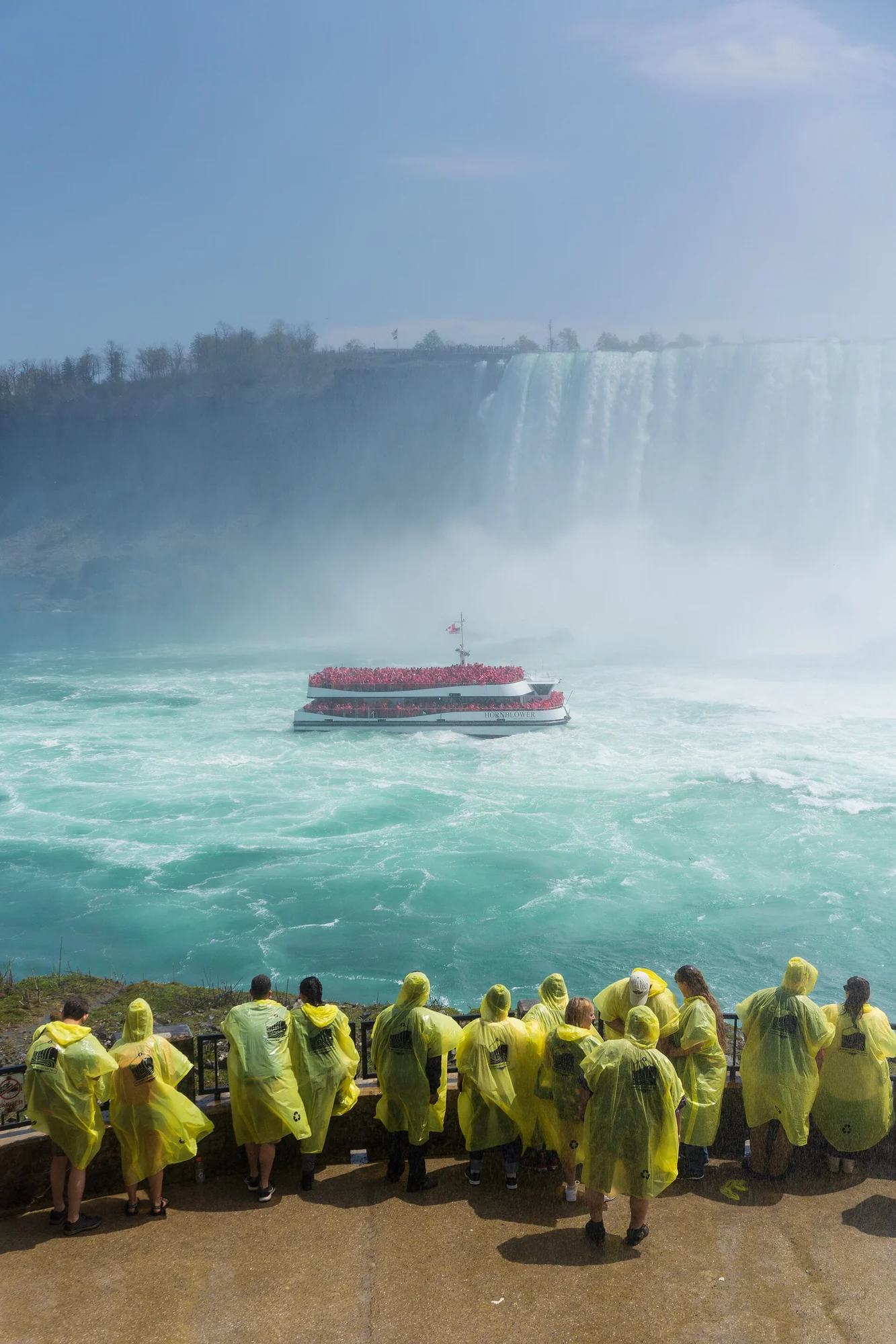
A group in yellow raincoats facing a red boat in the mist

The water also makes power

The falls are both for viewing and a source of hydroelectric power. The intake structures, gates and transmission facilities share the scene with the mist and boats; take these in together and you've seen more than half.

Upstream of Horseshoe Falls, calm water spreading out with a line of white mist at the end
Route

A morning on both shores

Don't slot it on a travel day. Stay nearby the night before, see the Horseshoe side in the morning, and the other shore in the afternoon, no rush.

A drop cut by one river

The Niagara River flows north from Lake Erie into Lake Ontario, plunging abruptly at the gorge's south end. Three falls crowd this stretch: Horseshoe, the largest, straddles the international border; the other two, smaller, are split by two islands.

Both islands belong to New York State; small as they are, they divide the whole sheet into three. From either side you see only part; to catch all three in one view you must cross to the opposite shore.

This landform was left as the last ice age ended: glaciers retreated, the new Great Lakes found a new outlet to the sea, and water spilling over the Niagara Escarpment cut this gorge. The water over the lip is green, tied to rock flour and dissolved salts the river carries. Looking down the cliff face, both layers read clearly.
Flow and electricity

By flow, the three together lead North America and rank seventh worldwide. On the ground, the ranking becomes gusts of mist; the same railing feels different morning and evening.

The same river also feeds power stations. Hydropower makes this more than a scenic spot; intake and transmission sit within sight. Since the 19th century, balancing recreation, commerce and industry has been the managers' hard problem.

So the same scene reads two ways: one side mist, rainbows and boats; the other, water allocated by flow. Before going, check the current notice, reachable viewpoints shift with operations.

A walk along the railing

First go to the side that frames Horseshoe's curve; the whole sheet bears down with mist while boats shrink to dots below. Morning light comes from behind and the water reads white; by afternoon, rainbows appear in the mist.

The American Falls side better shows the water's texture, a green layer spilling the lip and breaking white below. Bridal Veil is much narrower, pinched between two islands, and up close its sound is finer. Winter ice reshapes this stretch entirely.

Walk to the upper river and look back; the water lies so flat you can't tell it will fall, only a line of white mist at the end hints at the drop. No need to hurry; standing at the railing, the changes from flow and wind matter more than changing positions.

A morning for both shores

First locate the three falls, walk slowly along the rail, find a mist-free high point midway, then return upstream to the calm water.

Time needed

A morning to walk the main viewpoints on both shores; allow a half day extra for nearby sights in the same area.

Opening

Which platforms, trails and boats are open changes by period; some sections close in winter ice.

Access

Viewing platforms get wet and slippery; bring a layer near the mist. Step-heavy routes can be avoided. Check current accessible routes.

Best light

Summer mist soaks the rail; winter ice closes sections but reshapes the falls.

Talk through my trip idea

If you're planning those days at Niagara, tell me whether you'll keep a morning or a half day, and whether anyone in your group dislikes getting wet or moves slowly.

[email protected]

Read this page in Chinese

Discuss this journey