Lakes and icefields
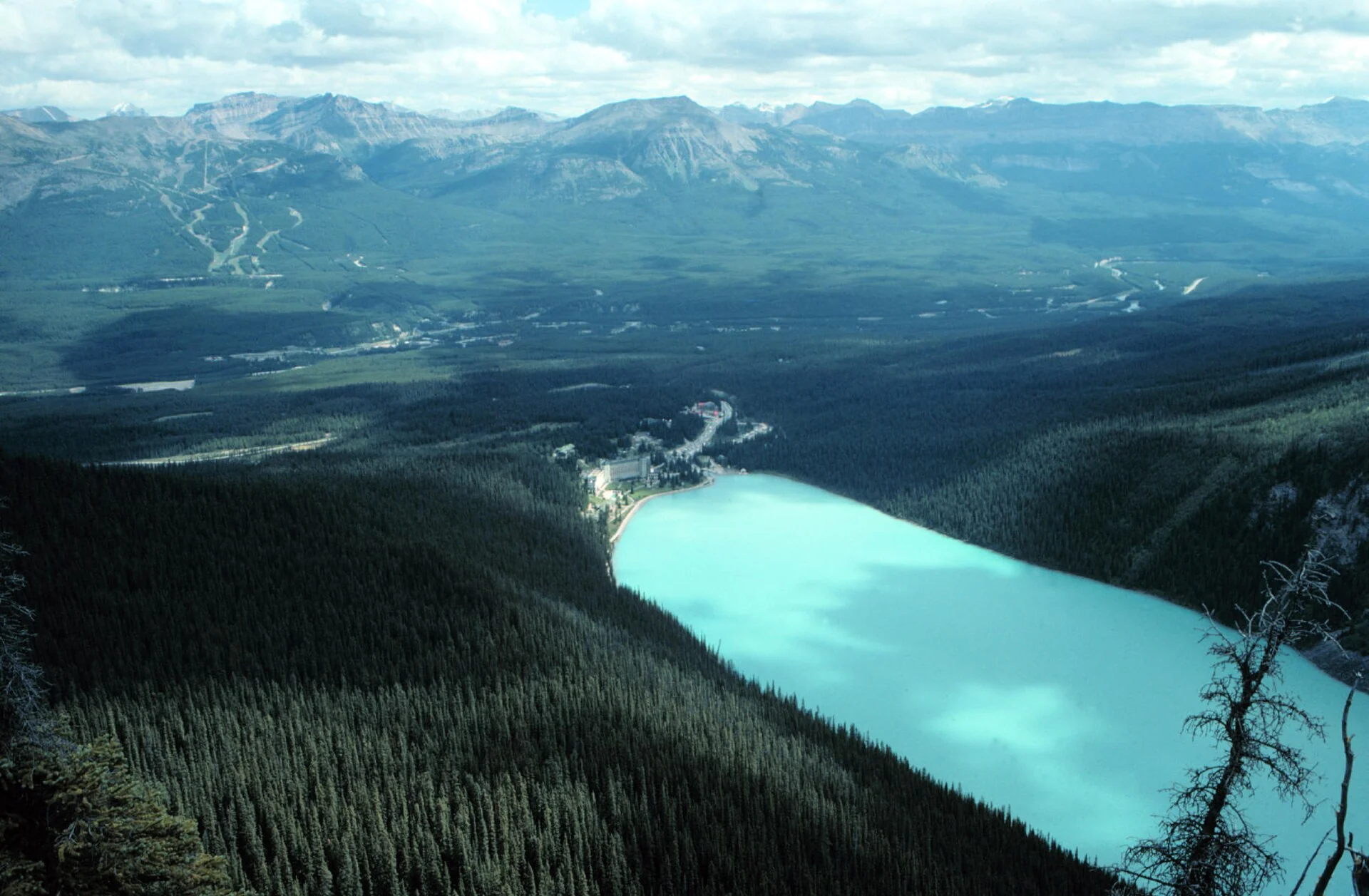
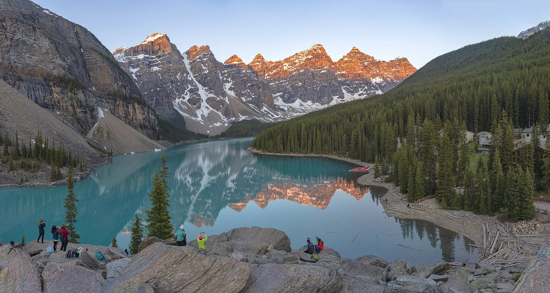
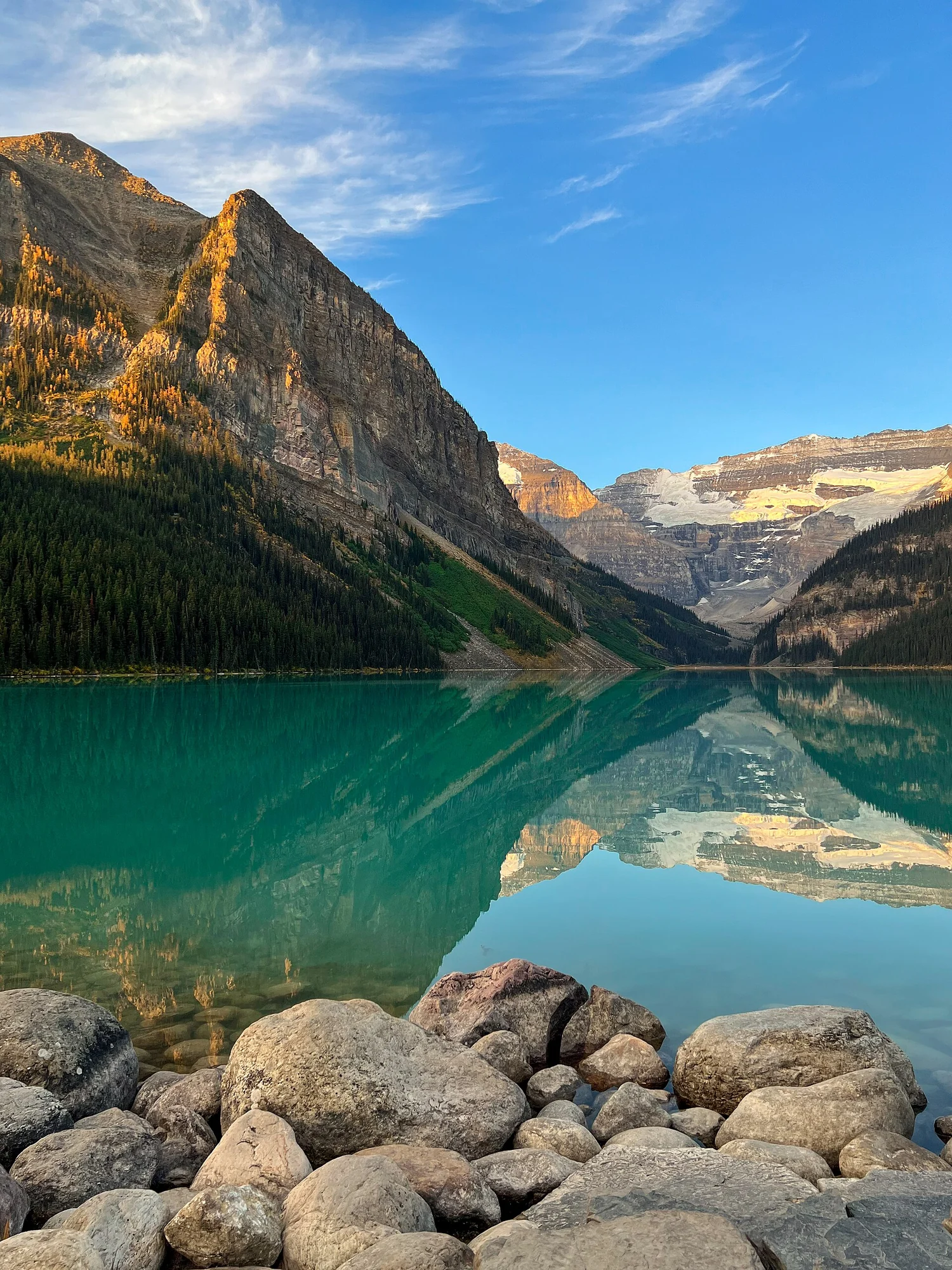
Lake Louise village is 54 km northwest of Banff town, its southwest framed by the Victoria Glacier. Fifteen km further is Moraine Lake, with the Ten Peaks behind, this scene appeared on the back of the 1969 to 1979 twenty-dollar note. The two waters share a colour; the cause is up the mountain.
The Icefields Parkway runs north from Lake Louise to Jasper, 230 km long. It passes Hector Lake, the park's largest natural lake; then Bow Pass at 2,088 metres, the highest point reached by a Canadian public road. At the end, the Columbia Icefield crosses the two parks' boundary, its Snow Dome sending meltwater to the Atlantic, Pacific and Arctic.
Continuous observation of Peyto Glacier since the 1970s is among the world's longest. The Rockies lost about 150 glaciers between 1920 and 1985, and another 150 in the following two decades. Banff alone had 365 glaciers in 1985 and lost 29 by 2005, ice area retreating from 625 to 500 square kilometres.